Contour Map
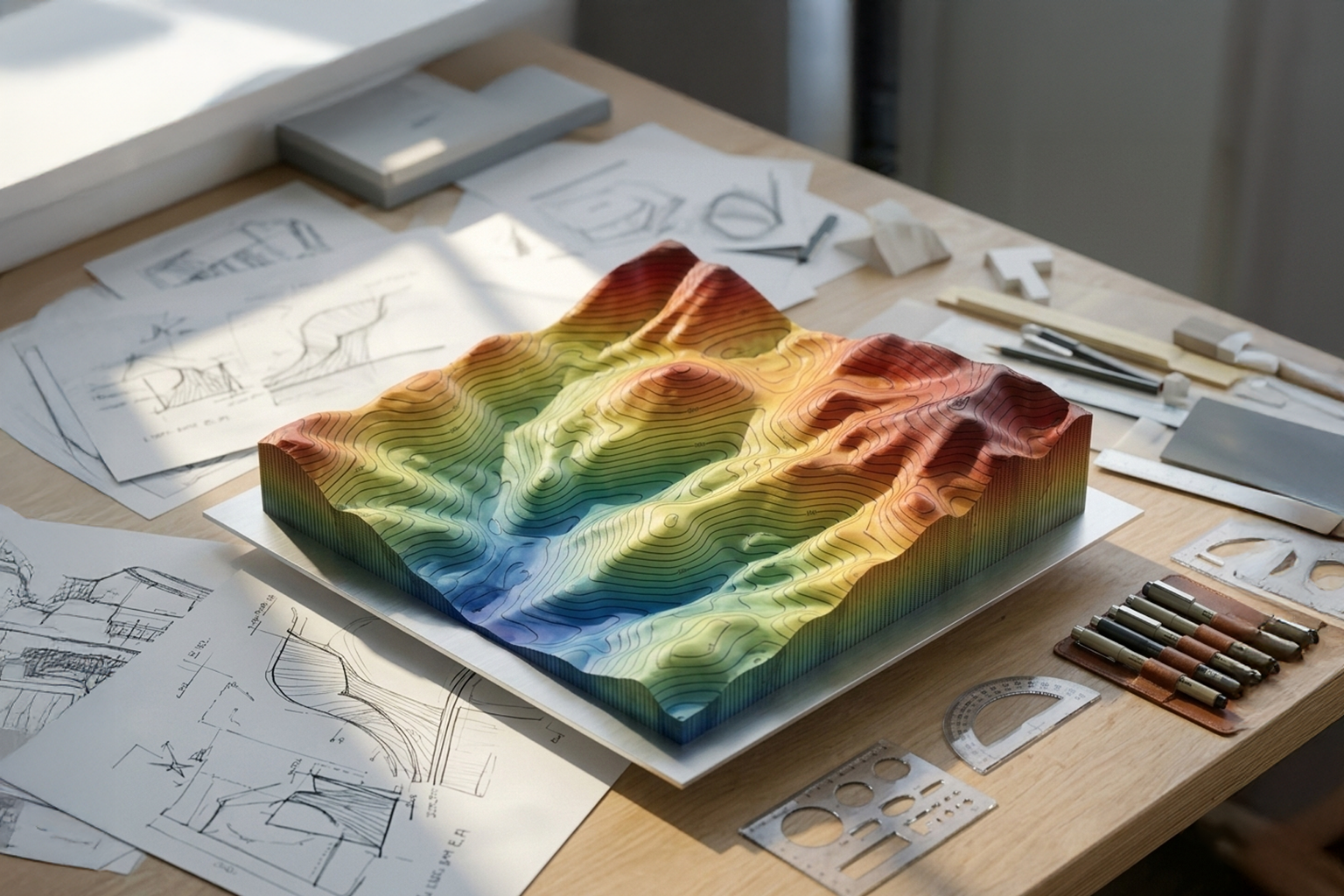

This model generates contour lines from a surface or terrain geometry, visualizing areas of equal elevation across the model. By sampling height values across the surface, the system creates contour curves that represent constant elevation levels, helping users understand terrain variation, slopes, and elevation patterns.
The output allows designers to analyze topography, visualize height distribution, and integrate contour data into further computational workflows within BeeGraphy.
Category
Engineering / DIY